
How Belle Haven was segregated
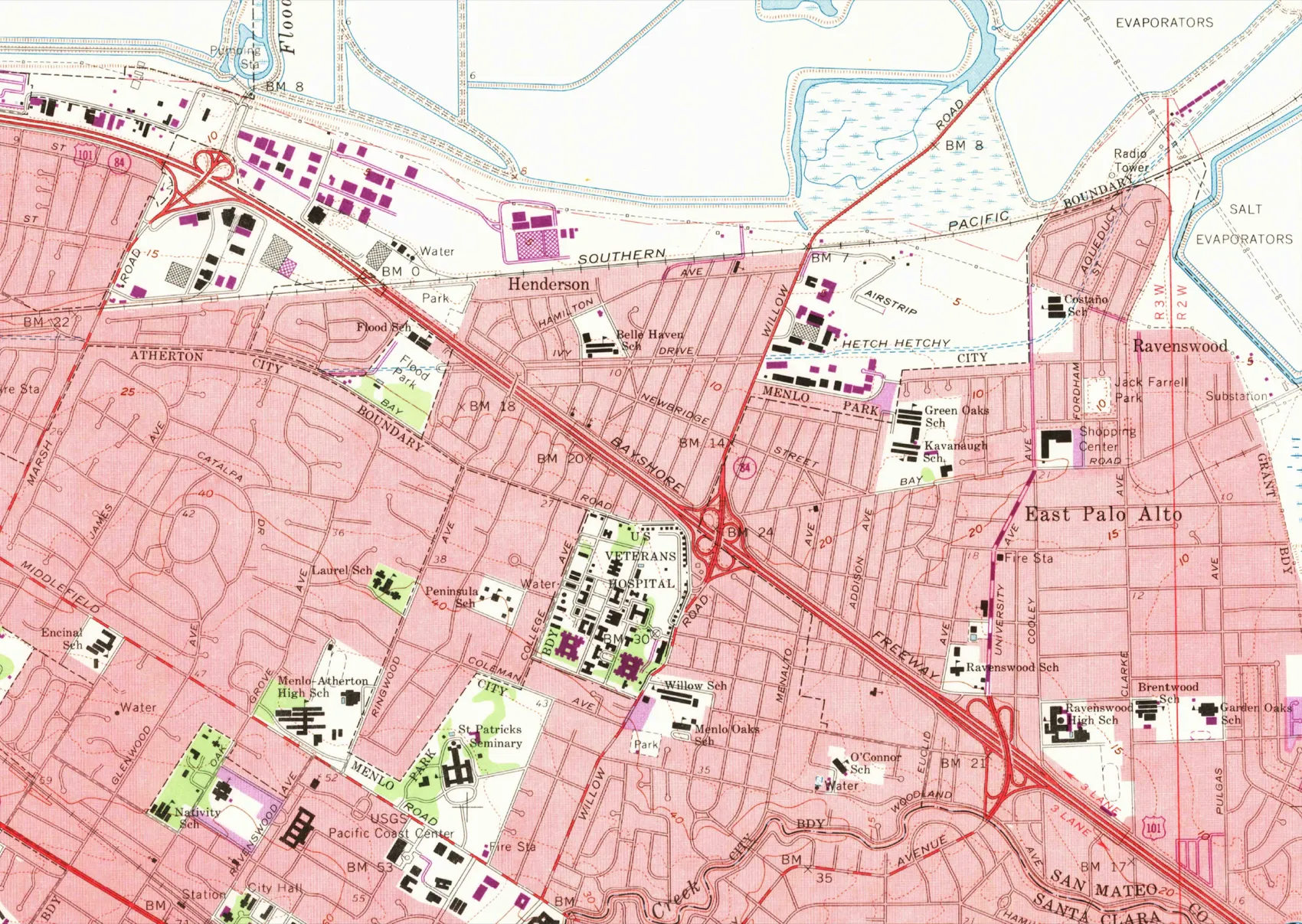
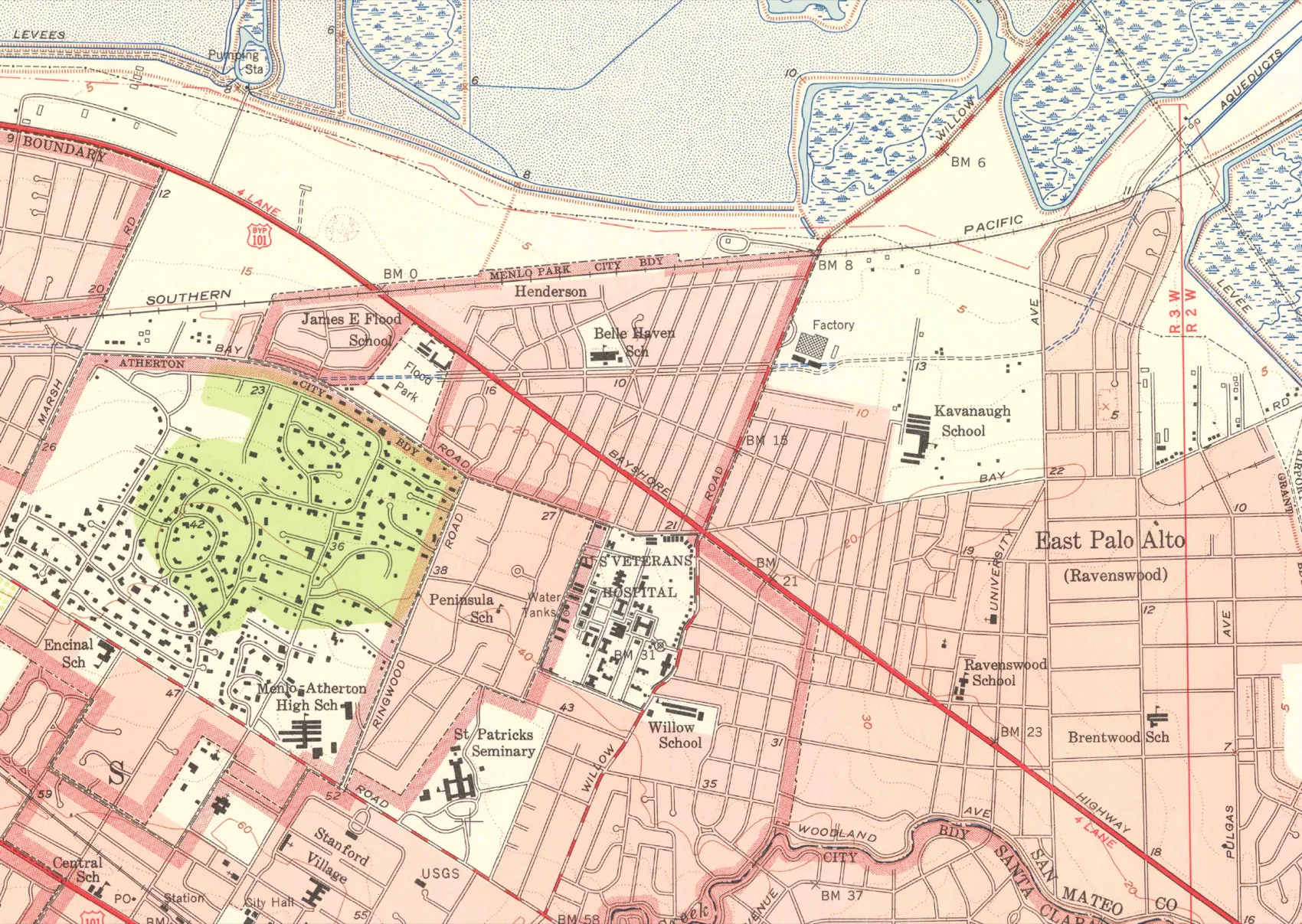
Drag the handle to compare 1953 with 1961, or focus it and use the arrow keys.
The U.S. Geological Survey’s Palo Alto quadrangle, 1953 and 1961 editions, showing the same ground. Between them the Bayshore Highway becomes a divided freeway. USGS, public domain; nothing has been added to either sheet.
The separation of Belle Haven and the Bayfront from the rest of Menlo Park was not the residue of private preference. It was written into deeds, underwritten by federal loan rules, hardened by a state highway alignment, and reinforced by municipal zoning and school district lines. Most of it is a matter of public record, and most of that record is local.
What follows is that record, in order, with a source beside every entry. It makes no claim about the intentions of anyone serving in Menlo Park today. It describes decisions, most of them decades old, that still shape where the freeway runs, where the industrial land sits, and why there is no grocery store east of it.
Sources last checked August 25, 2026. Every claim links to the source that records it.
Deeds
Containment
Ground
Schools
Today
Written into the deeds1920s–1940s
Racial covenants written into Menlo Park deeds
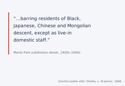
Subdivisions in Menlo Park, among them the Willows, carried covenants barring people of Black, Japanese, Chinese and Mongolian descent from living there except as live-in domestic staff. These were private contracts, but they were enforceable in court, which is what made them policy rather than preference. The U.S. Supreme Court ended that enforceability in Shelley v. Kraemer in 1948; the covenants themselves stayed in the deed records long after.
The Almanac, “Reflections on racial inequities that persist in Menlo Park” (2021)Select a point to read it, or use the arrow keys. Showing 1 of 10.
Where this comes from
The local timeline was assembled by neighbors, not by this campaign. Menlo Together’s Color of Law, Menlo Park Edition brought more than a hundred people together in 2019 to build it from city documents, court records, news clippings, photographs and maps, with the Menlo Park Historical Association, NAACP San Mateo County, Community Legal Services in East Palo Alto, Nuestra Casa, the League of Women Voters of South San Mateo and others. Belle Haven residents were on the panel.
The national framework is Richard Rothstein’s The Color of Law (2017), which uses this area as its case study of blockbusting. The local reporting is chiefly Kate Bradshaw’s Uneven Ground series in The Almanac. Both are worth reading in full; this page is a summary and no substitute for either.
Go deeper
This page is a summary. These are the works it summarizes, and they are all better than it.
If you find an error here, or you lived through something this page gets wrong, please tell me and I will correct it.